To the big Weir at the Weser river and huge barges lock
- Written by Portal Editor

Once again being guests in Bremen we went out for a long walk along the Weser due to late autumn sunny weather, this time we first took the tram to the Weser Weir and the great Weser lock on Hastedter Osterdeich.
From here we started along the Weser Weir used the pedestrian bridge, then along the large Weser lock turned over to the beautiful Werdersee with its beach and then back to the city center.
Bremen's flood protection by the Weser Weir
 Built for reasons of flood protection Weser weir consists of five fields, each 30 meters wide. The regulation of the water level above the weir is done through the closures of the weir, five movable stoppers, technically correct called fish belly flaps, which regulate the flow of water. The water level of the middle Weser above the weir at normal damming is at NN + 4.50 meters. Below the weir you will notice the influenced the Tide of the North Sea as part of the Middle Weser. Depending on the water level below the weir, the drop height at the barrage varies between about three and six meters. The control of the flap is fully automatic. For the maintenance and servicing of the damper, the individual fields of the weir in the upper and lower water can be closed with emergency closures and then pumped empty.
A large operating bridge is crossing the Weser weir, which can also be used by pedestrians and cyclists and many other users enjoy it too, including us during our walk. The bridge is located about five meters above the upper water, which also gives a great panoramic view of the lock system. It connects the operating bridge and the locks, so that cyclists and pedestrians can cross the entire barrage and overlook.
Flood regulation for the Weser but also for the North Sea
The weir is dimensioned for an outflow of 3,400 m³ / s. Because of the seize, the new weir can drain more water than it was the case with the old weir. Overall, the flood discharge concept at the Bremen barrage provides for a discharge of 4,200 m³ / s. The difference between the total discharge and the outflow by the weir is dissipated via a side drainage area by the Werdersee and the Kleine Weser. However, during the flood in March 1981, it became apparent that the lateral drainage area was no longer able to absorb the planned volume of water due to increasing build-up. The water jammed into the side room intended for the drain and finally broke through the dike below the barrage and lock system, which was subsequently re-regulated the flood discharge.
Next to the Weser weir there is a fish ladder on the island between the weir and the lock. Another fish passage was created in connection with the Weser power plant on the right bank of the river.
Large lock for the navigation at the Weser Weir
 For a smuggling at low tide underwater about 20,000 m³ of water are needed, which are taken at the head of the Weser and fed back to the lower head of the Weser. In the mountain smuggling, the filling of the lock is done via a filling shell, which is installed in the rotary segment gate of the head. For this purpose, the gate is lowered slightly and water can flow through the filling shell into the lock. In the valley lock emptying takes place via lateral gates at the lower head. In order to avoid harmful currents, so-called disruptive bodies are located below the sluice gates, which ensure energy conversion of the incoming and outgoing water.
The upper gate of the lock consists of a part wise turning gate. To protect the gates, there is a safety net at the upper gate inside the lock chamber. The gate can be protected by a rope from the upper water. A corresponding shock protection in the form of a rope is also located in front of the gate below.
At the Weser flood of March 1981, the planned torrent did not prove itself. The masses of water pouring in from the Mittelweser searched for another route, already streaming into the lower Weser at Karl-Carstens-Brücke and digging a deep new bed.
Werdersee and Kleine Weser - use at high tide
 After the analysis and the then drawn consequences due to the dike gaps, which were created during the flood, substantial changes took place in the years 1981 to 1987, so that in future similar floods, which have not occurred since then, the water should have a better direction guidance: The easternmost part the trough was increased to slow the flow rate of excess water. At the same time the summer dike was removed at the branch of the channel from the middle Weser. Now a summer dike limits the flood gutter to the side of the city. In the area of Karl-Carstens-Brücke, the flood gutter was deepened to keep flowing water away from the bridge foundations. As a result, the Werdersee upstream was extended by one kilometer and now extends until the bridge to the Wehrstraße. The land bridge between Werdersee and Kleiner Weser has been removed, so that from the Mittelweser overflowed floods may optionally flow unhindered into the Lower Weser.
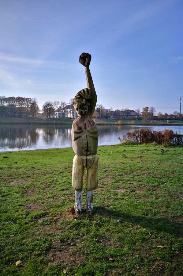
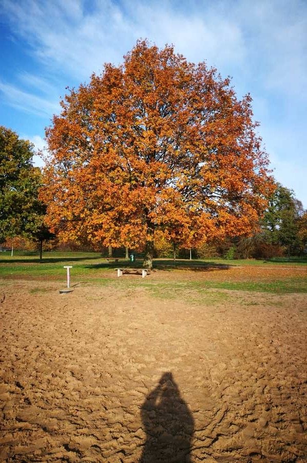
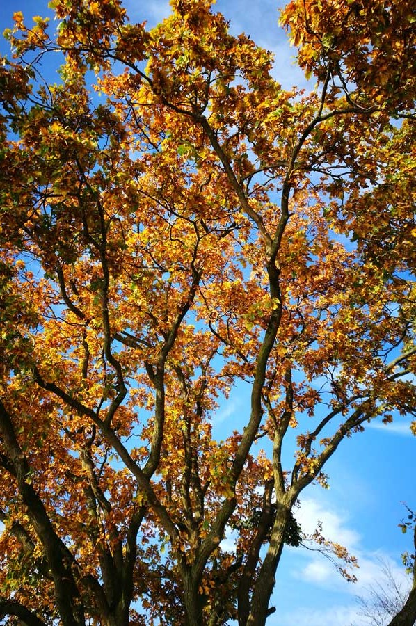
Through complex measures in the renaturation of the small Weser and Werdersee thus also a recreational area with beautiful trees, biking and hiking trails for the city dwellers was introduced. Even a beach could be created, which is heavily frequented in the summer. We were accompanied by the gloriously colorful leaves of autumn and winter.
Please read as well:
Station 35 - Camping Farma Sotira - Hiking in pure nature
Inflatable tents on the rise - GT Box at Campsite Vienna West
-
 Lock and Weir at Weser River in Bremen
Lock and Weir at Weser River in Bremen
Lock and Weir at Weser River in Bremen
-
Lock and Weir at Weser River in Bremen
Lock and Weir at Weser River in Bremen
-
Lock and Weir at Weser River in Bremen
Lock and Weir at Weser River in Bremen
-
 Lock and Weir at Weser River in Bremen
Lock and Weir at Weser River in Bremen
Lock and Weir at Weser River in Bremen
-
Lock and Weir at Weser River in Bremen
Lock and Weir at Weser River in Bremen
-
Lock and Weir at Weser River in Bremen
Lock and Weir at Weser River in Bremen
-
Lock and Weir at Weser River in Bremen
Lock and Weir at Weser River in Bremen
-
Lock and Weir at Weser River in Bremen
Lock and Weir at Weser River in Bremen
-
Lock and Weir at Weser River in Bremen
Lock and Weir at Weser River in Bremen
-
Lock and Weir at Weser River in Bremen
Lock and Weir at Weser River in Bremen
-
Lock and Weir at Weser River in Bremen
Lock and Weir at Weser River in Bremen
-
Lock and Weir at Weser River in Bremen
Lock and Weir at Weser River in Bremen


