Şırnak - border with Iraq and Syria
- Written by Portal Editor

The current daily policy in the Syrian conflict has brought tragic problems to the province of Şırnak and thus its provincial capital of the same name due to the shared border with Syria after the long-existing Kurdish conflicts, because thousands of Syrian refugees sought their salvation by fleeing abroad.
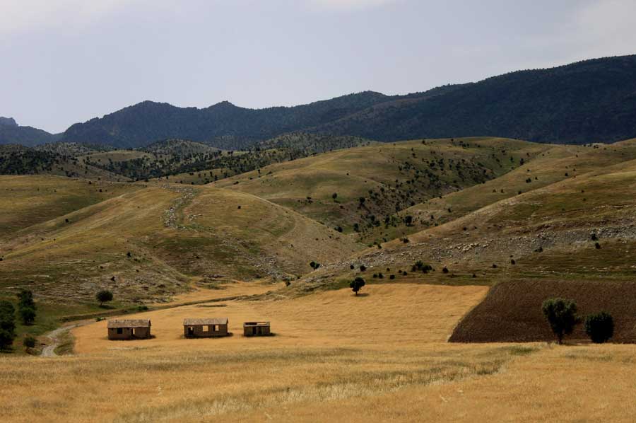
With the neighbouring provinces of Siirt and Van in the north, Hakkâri in the east and Mardin in the west, the province of Şırnak stretches along the border with Syria and Iraq at an average altitude of around 1,400 meters above sea level as an inaccessible mountain landscape that is mainly inhabited by Kurds . In 2007, only about 416,000 inhabitants lived on the entire provincial area of 7,172 km2, which translates to 58 inhabitants per square kilometre. It is not without good reason that one speaks of sparsely populated areas, which can have correspondingly few structures to provide accommodation for thousands of refugees.
Pure nature - an El Dorado for hikers
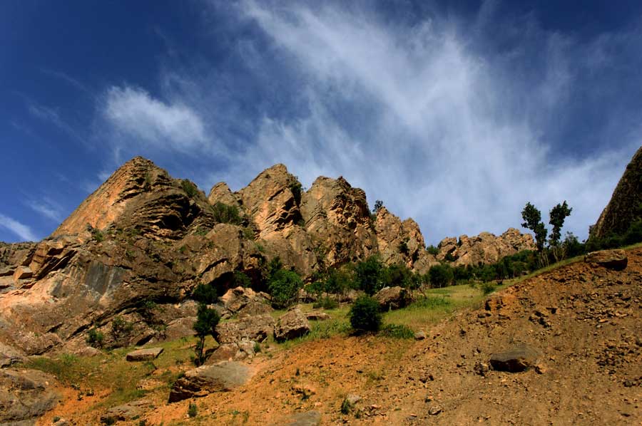 The region could certainly use quieter days to at least open its beauty and naturalness to tourism a little. Not only the historically significant Tigris crosses Şırnak, its tributaries Kızılsu, Hezil and Habur also flow through the mountain landscape. In addition to the mountain Cudi, which is important for the region, it is above all the Gabar, the Namaz and the Altın Mountains that determine the face of the landscape. Historically, the highest mountain Şırnak with 2,114 meters plays a major role, not only because of its four peaks.
Theodor Nöldeke - Noah's ark landed here?
 The traveller and researcher Theodor Nöldeke assumed in 1898 that the original name of the mountain might have been Kardu, in reference to the country of Quardu, where the Noah's ark supposedly ended up. Other researchers such as David Rohl, Bill Crouse, Charles Willis and Timo Roller have at least considered this possibility. Even the remaining ruins of a former monastery, which Arab geographers called Safinat Nabī Nūḥ (Noah's Ark), allow this theory. When the researchers found Austen Henry Layard and later also L. W. King rock inscriptions and also some rock sculptures from Sennacherib, the conclusion was obvious that Mount Cudi could also be identical to Mount Nipur, which was often mentioned in antiquity.
Unfortunately, many unanswered questions cannot be answered due to the still prevailing conflicts between the Turkish army and the PKK fighters, because the region is simply too dangerous to travel and research. Again and again there are violent battles, especially on the Cudi. This, combined with the refugee problem, continues to make the region seem inaccessible to tourists, an area the Turkish authorities warn of before entering, not to mention the military exclusion zones.
Please also read:
Hiking the Heidentor - outside of Carnuntum
Hiking in Gömbe and to the Ucarsu waterfall