Adapazarı at the delta of the Sakarya River
- Written by Portal Editor

Originally, Adapazarı was a small village that was located on a branch of the Sakarya river and was simply called Ada after the Turkish occupation under Sultan Orhan I in 1324.
First mentioned in a document is from Sultan Orhan I, Ada is located at the delta of the Sakarya River. Very close you will find the famous Roman Sangarius Bridge, which is a remarkable structure not just because of its length of 429 meters. The design suggests that the Romans actually planned to build a canal parallel to the Bosporus (Pliny Canal) in order to have a better connection of the Anatolian provinces to the Roman Empire.
From the year 1795 there are again documents that refer to the modern name Ada Pazari as the seat of an administration with state officials. In 1852/1853 the village was elevated to a town. Around 1890 the city had 24,000 inhabitants. Increasing population numbers in the 18th century made it possible to grant city rights and in 1890 there were already 24,000 inhabitants, which increased to 36,000 in 1950.
Big industry create jobs
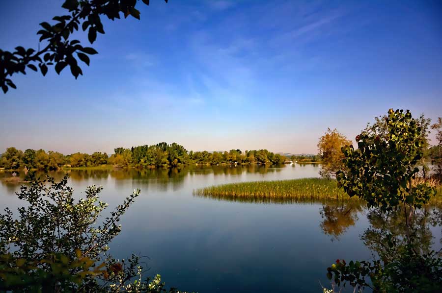
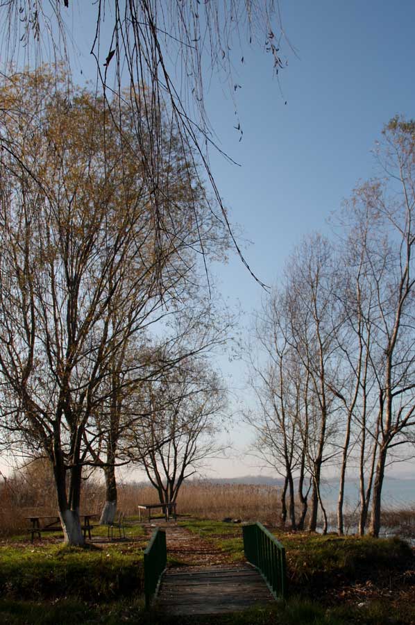 The following years led to a rapid increase in population, also due to the proximity to the prosperous cities of Istanbul and Izmit. The region around Ada Pazari consists of very fertile marshland, which initially promised good harvesting opportunities for the rural population. However, the textile industry and the areas of industrial suppliers are the most important branches of the economy today. Large parts of the population now work in the industrial production of Toyota, for the tire manufacturer Goodyear or in the Otokar truck factory. The service sector also offers many citizens employment opportunities, so Toprak Holding has settled here, to name just one company. Recreational travellers spend their free time on the lakes of Sapanca or Poyraz Gölü, but also on the Black Sea. The mountain Keltepe, at least 1,610 meters high, offers hikers and mountain tourists good opportunities that are increasingly used by ski fans.
Earthquakes shook the region around Adapazari
 Unfortunately, the location of the city in the immediate vicinity of the crevices of the various land plates and the rather careless construction method of the population repeatedly caused catastrophic consequences of earthquakes in the region. On August 17th, 1999 there was another earthquake that drew worldwide attention to Adapazarı, but large parts of the entire city centre were almost completely destroyed, resulting in thousands of deaths.
Like Gölcük and Izmit, Adapazarı was one of the cities worst hit by the earthquake.
Two main factors contributed to the great destruction: On the one hand, Adapazarı is located on the North Anatolian Fault, on the other hand, the centre of the city was built on relatively loose ground. Today a permanent exhibition commemorates the victims and the consequences of the quake. More than 18,000 people died in Turkey as a result of the tragedy.
Thanks to numerous donations from all over the world, the city could be rebuilt. A 26 million loan from the European Reconstruction Loan Corporation also contributed to this.
Please also read:
Roman Sangarius Bridge at Adapazari
Poznan or Poznan - another tour of the city