")
")
")
The town of Altenau and its Altenauer Runde
- Written by Portal Editor

The town of Altenau is quite centrally located in the Upper Harz, only about 10 kilometers from Clausthal-Zellerfeld in the west, Goslar is about 15 km to the north and Osterode am Harz is about 25 km to the south-west.
There are wonderful cycle routes along various ponds, which lead, for example, from Clausthal-Zellerfeld in the direction of Altenau.
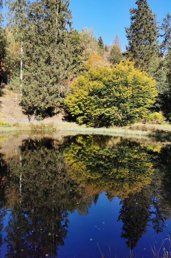
 To the east of the mountain town is the summit of the Brocken, twelve kilometers away, which can be seen clearly from many places in Altenau. In the north, the wide valley of Altenau is limited by the course of the Schwarzenberg along the market to the end of the town in the direction of the Okertalsperre, where there is another campsite. The 927 meter high Bruchberg rises south of the mountain town. The Oker flows through Altenau from south to north. Other streams such as the Kleine Oker, the Rotenbeek, the Schneidwasser and the Gerlachsbach flow into the Oker in the urban area and give Altenau a cityscape with numerous valleys and hilltops, which fortunately also consist of mixed forest and are therefore still heavily forested.
The Altenauer round through the Harz Mountains
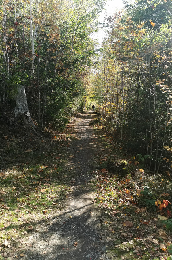
 In the meantime we have tried various tours by bike coming from the Prahljust campsite in the direction of Altenau, some of which were quite adventurous to ride because they were very narrow, steep and curvy, but we had no problems with our equipment (HNF Nikolai XD 3 All Terrain and MTB) . Today, however, it should only go to the center of Altenau, because the well-known circular hiking trail "Altenauer Runde" was on our list.
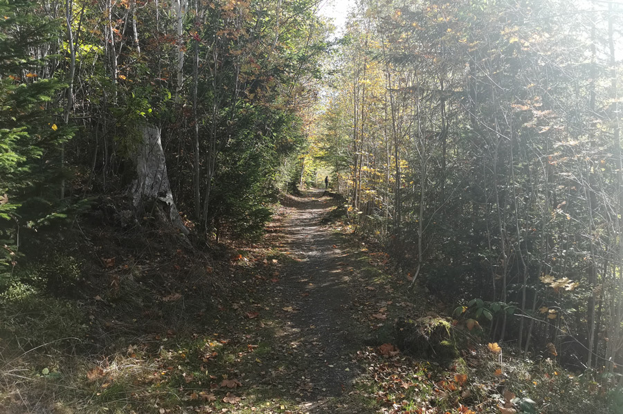
"On the well-known "Altenauer Runde" hike, you can expect wonderful views of the valley and the mountains, breathtaking and varied landscapes and relaxing silence," is the advertising slogan for the Altenau circular hiking trail. "When hiking through the Harz Mountains, you walk along streams, pass ponds and ditches - all parts of the UNESCO World Heritage Site "Upper Harz Water Management" that reflect the culture and history of the Harz Mountains. There are numerous benches along the route where you can take a break and catch your breath, or just enjoy the peace and fresh air”.
Hiking sections of the "Altenauer Runde"
 The Altenauer Runde can be roughly divided into three sections, which together add up to a total length of 13 kilometers if it is not possible to hike the entire route in one piece. The hiking route is moderately difficult and mostly has only moderate gradients and only short and as an exception strong increases. In total there is only a height difference of 265 meters.
Section 1: from the ironworks to the Tischlertal
Length 3.9 kilometers
Lowest point 414.9 meters
Highest point 504.0 meters
Height difference 89.0 meters
Section 2: from the Tischlertal to the Rose
Length 4.7 kilometers
Lowest point 499.4 meters
Highest point 580.6 meters
Height difference 81.2 meters
 Section 3: from the rose to the ironworks
Length 4.4 kilometers
Lowest point 424.4 meters
Highest point 519.7 meters
Height difference 85.3 meters
We hike them in one go and experience wonderful views of the valley and the mountains along the way, varied landscapes with streams, ponds and ditches, which are part of the UNESCO World Heritage Site "Upper Harz Water Management". If you prefer to hike sections, you can start from the center of Altenau and return there again.
Intermediate destination herb garden, Polsterberger Hubhaus, Okertalsperre and forest swimming pool
 In 2004, Germany's largest herb park was opened in Altenau, specializing in medicinal and kitchen herbs and spices. Thousands of tourists visit the year-round botanical garden, which shows a multitude of varieties.
The Harzer Hexenstieg leads to the Dammgraben with the Dammhaus and the Polsterberger Hubhaus. Hiking trails lead from here to the Kellwassertal at the Vorsperre to the Okertalsperre and the Goetheweg to Torfhaus and to the Brocken in the Harz National Park.
The E6 long-distance hiking trail and the Weser-Harz-Heide long-distance cycle route lead through Altenau.
With the Dammgraben we come across the Große Oker, steer the steps north and after a few more kilometers we are on the Kleine Oker at the Okerteich with a forest swimming pool and restaurant.
 The Okerteich was created in the early 18th century and at that time supplied the pits for the treasury train.
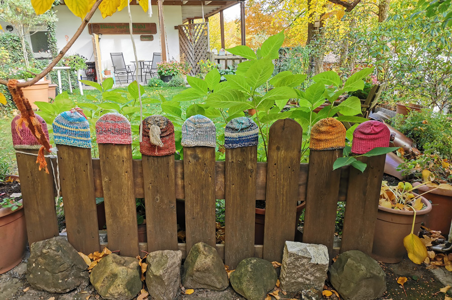
A highlight along the way: the wood carving workshop set up by folk artist Richard Meier in 1958 on Hüttenstraße offers wood products typical of the Harz and the Ore Mountains as well as several dioramas with moving figures.
Please read as well:
Okerstausee - when will the long-awaited "big" rain come back