")
")
")
Orontes - important water supplier in the Bekaa valley
- Written by Portal Editor

Orontes - For the past two centuries, the region of the rising sun, the Middle East, often referred to by Europeans as the Orient, has been an essential part of archaeological research and the history of human development and their settlement areas.
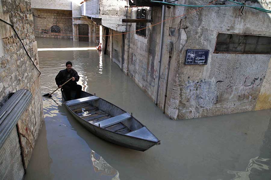
In the now very dry areas, the supply of water was of particular importance when it came to settlements that were to be used permanently. A good example of this is the Orontes River, which flows through Lebanon, Syria and Turkey in its course, despite its total length of just 240 kilometers.
Granary Bekaa Plain was important even in Roman times
 The source of the Orontes lies in the northern Bekaa plain (Labweh), crosses the Syrian border to the north and continues along the valley of the African Rift Valley, which runs through the Syrian Ghab plain. Due to the numerous irrigation systems, the Bekaa plain is now considered the fruit and vegetable chamber of Lebanon, a granary that was already known to the Romans. Accordingly, the Romans used the region to obtain grain for supplying ancient Rome and for building cities, including Baalbek with its numerous Roman temple ruins. Other ancient Roman buildings in Niha, Qsarnaba and Majdel Aanjar allow conclusions to be drawn about the extent of the granary.
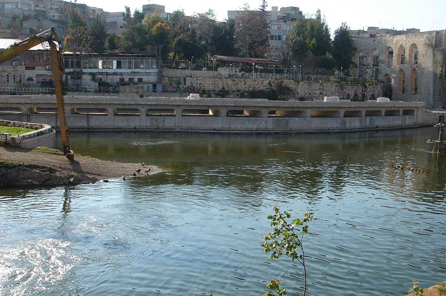
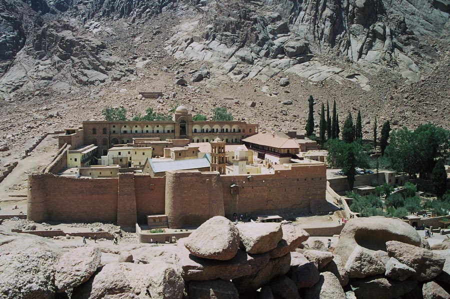 In contrast to the river Litani, which rises in the immediate vicinity and flows south, the water of the Orontes flows parallel to the sea towards the north. After just a short way after the source, it goes almost 600 meters down through a gorge to Lake Homs, which was dammed by the Romans in ancient times to use the water for irrigation of the fields. In the region of Hamah, the valley widens considerably and thus provided space for other ancient cities such as Apamea and Larissa. The Orontes Valley continues up to the rocky barrier of the Jisr al-Hadid mountain range. Now the river changes direction to the west until it reaches the plain of Antioch.
Through two mighty tributaries from the north, the Afrin and the Karasu, which flow through the former Lake of Antioch, the Orontes gains in power. Today, the region is largely deprived of water through an artificial canal, the Nahr al-Kowsit. We continue along the modern city of Antakya, as Antioch is called today, on what is now Turkish territory, southwest into another gorge, where the water of the Orontes flows 50 meters further down towards the sea for the next 16 kilometers. At the small port town of Samandagi, which was called Seleucia Pieria in antiquity, the waters of the Orontes reach the sea after 240 kilometers from its source.
Orontes - not navigable but still an important route
 Almost the entire course of the Orontes is not usable for ships and yet its historical significance is based, in addition to the supply of water, mainly on the fact that the Orontes was used as a traffic route. The Orontes Valley was used to cross the mountains, to enable traffic from north to south and to build roads from north to north-east to Antioch. One followed the course of the river to Homs where the Al-Rastan dam was built, where the traffic route forked towards Damascus and Syria. Further south through the valley, in addition to trade, armies have always traveled to and from Egypt. The famous Battle of Kadesh during the reign of Ramsses II (1279-1213 BC) was fought on the Orontes. When the Assyrian army under King Shalmaneser III met the Allied army of 12 kings under the leadership of Hadaezer of Damascus in 853 BC, the decisive battle of Qarqar took place, also on the Orontes. In the year 637 AD, the battle of the Iron Bridge between the forces of the Rashidun Caliphate and the Byzantine Empire was fought at the so-called Iron Bridge, which was built by the Romans.
 For many centuries the Orontes formed the natural borderline between the frequently changing states. Even the Egyptians saw the Orontes as their northern border to the Annurru region, in the east of Phenicia. For the crusaders of the 12th century, the Orontes was the permanent border between the administrative districts of Antioch and Aleppo. JUst the name of the Orontes changed during history due to changing rulers from the river of the Levantes to Draco, Typhon and Axius. In addition, there were the different names in the countries, so the Orontes was also given the modern name Asi, which colloquially means "Rebel", since the Orontes, in contrast to all other rivers, flows from south to north.
How important this little river Orontes was for the people in history can only be guessed at from the description in the book "Un jardin sur lÓronte" by the French poet Maurice Barres (1862 - 1923).
Please also read:
Short stop at the Rhine Falls near Schaffhausen