")
")
")
Xanthos River and the Roman Bridge near Kemer
- Written by Portal Editor

Xanthos River — Known from the legends of Greek mythology, the river today designated as the Xanthos is quite famous; it was here that the goddess Leto bathed her children, Artemis and Apollo, during her flight from Hera.
Referred to in Turkish as the Eşen Çayı or by the archaic name Koca Çay the river serves today as one of the most vital water sources in the southwestern Anatolian province of Antalya; its source lies at Mount Kızılca (Kızılca Dağ) in the Taurus Mountains. As it winds its way down to the sea, the Xanthos flows through an exceptionally fertile valley, an area now intensively utilized for agriculture.
 The name "Xanthos" likely derives from the Greek word for "yellow" a reference to the yellowish alluvial sands carried by the river's waters. Indeed, it is precisely these mineral-rich sediments and sands that account for the high agricultural yields of the Lycian Plain. As early as the first century BC, the geographer Strabo wrote of the river *Sibros* (Phoenician for "reddish-yellow"), noting its immense significance in the region's history of human settlement, even in his own time.
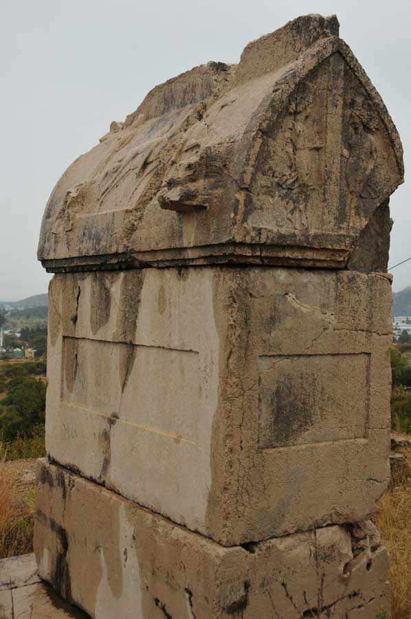
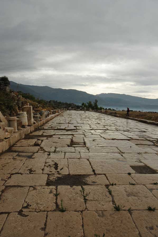
Consequently, it comes as no surprise that some of the most significant archaeological excavations in the region—at the ancient cities of Xanthos, Patara, Pinara, Gökkaya, and Tlos—are situated either directly upon or in close proximity to the river's former course, frequently yielding sensational discoveries. Near the village of Kemer (not to be confused with the city of the same name near Antalya), a monumental bridge once spanned the river which measures approximately 500 meters in width at that point; the surviving remnants of this structure bear witness to the sophisticated engineering prowess of its builders. Just 40 kilometres downstream from its source, the Xanthos reaches the sea near Gelemiş the site of ancient Patara.
Xanthos River - The Roman Bridge near Kemer
 The bridge near Kemer was a Roman bridge spanning the Xanthos River (*Koca Çayı*) in Lycia, a region located in what is today southwestern Turkey. The remains of the structure are situated 4 km upstream from the village of Kemer, at a point where the gravel-covered valley of the Xanthos River reaches a width of 500 meters. All that remains of the structure is a 29-meter-long and 4.5-meter-wide section located on the right bank of the river safely outside the flood zone which served as the approach ramp for the actual river bridge. From an architectural-historical perspective, the bridge remains significant despite its extensive destruction due to its segmental arches and internal hollow chambers.
Several structural features, unusual for the period, can still be discerned in the surviving bridge remains. The preserved ramp features three arches with spans ranging from 4 to 4.45 meters; two of these arches possess a distinctly flat profile, with a rise of only one meter. Segmental arches are known from only a limited number of Roman bridges and did not come into widespread use in bridge construction until the late Middle Ages, notably with the Ponte Vecchio. The third arch, in contrast, exhibits the classic Roman semi-circular form, in which the ratio of span to rise is 2 to 1.
Xanthos River – Limestone Blocks and Mortar-Cast Masonry
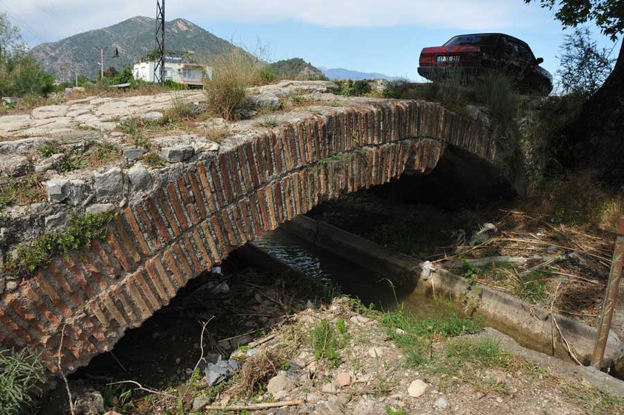 The bridge arches were constructed using locally quarried limestone blocks bound with mortar, while the bridge superstructure was built using mortar-cast masonry filled with rubble stone a construction method now exposed in many places due to the severely deteriorated exterior facing. The mortar consists of hard lime mixed with fine gravel. The paving of the roadway has vanished entirely, though the uniform gradient of the bridge ramp suggests that the original ancient paving rested directly upon the surface visible today. Another distinctive structural feature of the bridge near Kemer is the hollow chamber situated above the crown of the third arch. Here, the 2-meter-high bridge superstructure spanning the space between the arch’s apex and the roadway was not constructed as solid masonry; instead, a vaulted internal cavity measuring 3.5 meters in length, 3.2 meters in width, and 1.5 meters in height was left hollow within it. The purpose of this hollow-chamber design was to reduce the load bearing down on the arch and to conserve building materials. A second, smaller internal chamber was positioned adjacent to it, within the upper section of the third pier. Similar hollow-chamber systems have been identified in at least three other Roman bridges in Asia Minor (specifically the Makestos Bridge, the White Bridge, and most notably the Aisepos Bridge).
Round Timbers from Roman Construction and Centering Scaffolding
 Circular channels with a diameter of approximately 26 centimetres, which traverse the bridge both lengthwise and crosswise, are interpreted as the voids left behind by the round timbers used in the Roman construction and centring scaffolding. The fourth pier the one situated closest to the riverbed features a small auxiliary arch opening that served as a water passage. Although the surviving bridge ramp offers no definitive clues regarding the specific type or number of arch openings that comprised the actual bridge spanning the river, the ancient structure given the riverbed’s width of 500 meters and the bridge’s current height of approximately 8 meters above the accumulated alluvial debris must have been a truly impressive feat of engineering.
Please also read: