")
")
")
Eurymedon Bridge over the Köprüçay near Aspendos
- Written by Portal Editor

Eurymedon – Perhaps the name is a little confusing at first due to its modern origin, but the river now called the Köprüçay played a significant role in history, though back then it was known as the Eurymedon.
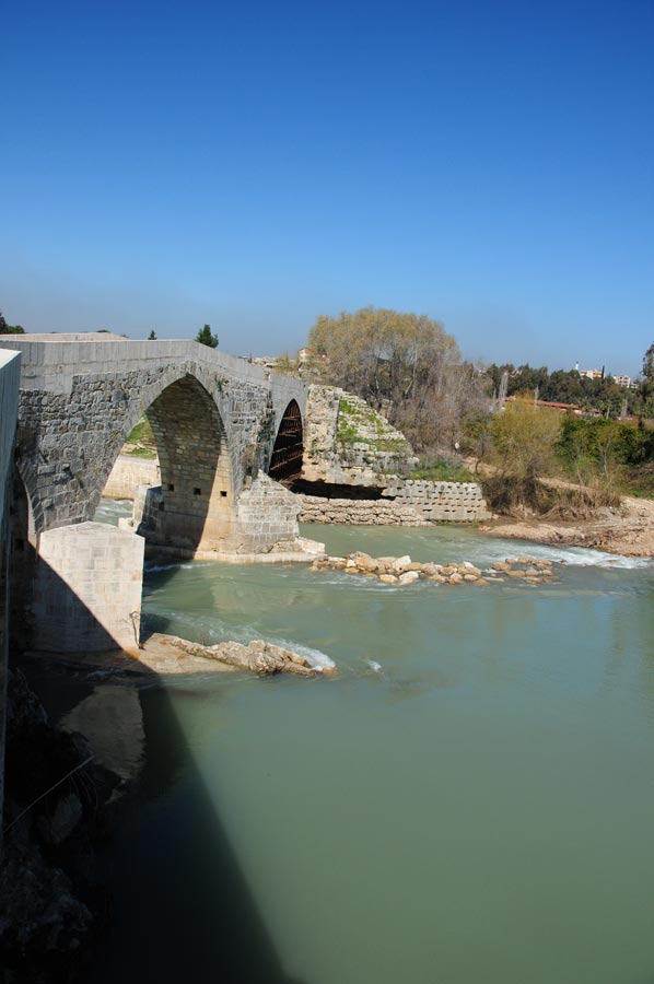
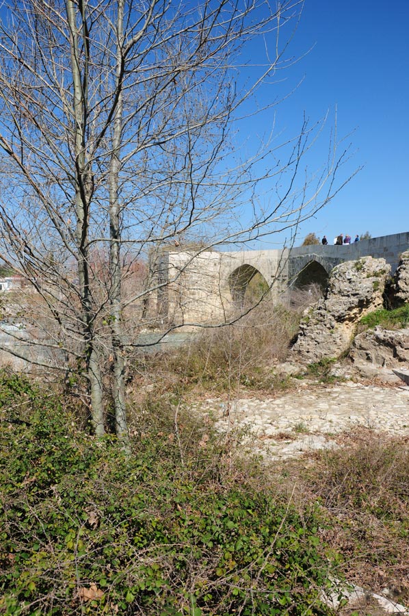
Until modern times, rivers and mountains were generally important borders between peoples, before bridges and tunnels made it possible to easily and consistently overcome these natural barriers. And once again, it was the Romans who significantly advanced bridge construction with their engineering. The Eurymedon Bridge, for example, which we will now describe, was a Roman-era bridge consisting of nine segmental arches spanning the Eurymedon River near Aspendos in ancient Pamphylia.
Eurymedon Bridge – 250 perforated stones from the Aspendos pressurized water system were used in its construction.
 We have already visited and reported on individual bridge constructions of Roman engineering (Cendere Bridge / Anatolia). The integration of the bridge into its surroundings and the conclusions drawn from the surrounding buildings were always very important to us in order to understand its design and construction. The dating of the Eurymedon Bridge must be closely linked to the well-known aqueduct in nearby Aspendos, as some of the building materials were taken from the aqueduct, which certainly did not occur during normal operation.
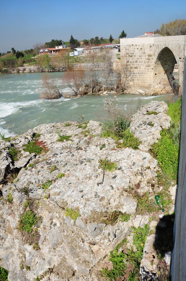
For example, around 250 perforated stones from the Aspendos aqueduct were reused as spolia in the bridge's outer lining alone. Since the aqueduct was demonstrably in operation until the 4th century AD, the ancient road bridge over the Eurymedon cannot have been built before this time.
 However, it is not impossible that an older Roman bridge stood on this site previously. This bridge may have been destroyed along with the Aspendos aqueduct in the great earthquake of 363 AD, which could explain the reuse of the now-unusable pipe stones during the reconstruction.
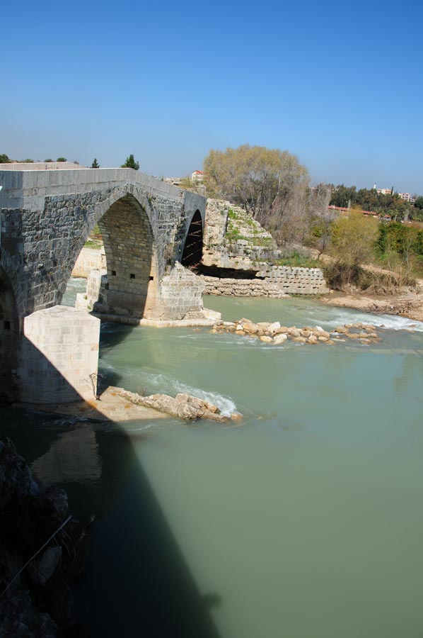
The shape and course of the Roman bridge were reconstructed using computer simulations. The computer model was based on the remaining structural elements, namely parts of the ramps, the abutments on both banks, and a pier foundation. Numerous other bridge sections scattered in the riverbed and along both banks were not included in the reconstruction. The plans for the reconstructed bridge revealed dimensions of 259.50 m long and 9.44 m wide, with nine round arches.
The horizontal central section contained six arches.
 It crossed the Eurymedon at a right angle, with the otherwise straight roadway making a slight bend to the left on the right bank, just before the ramp. An important indicator of the ancient bridge's height is provided by the gradient of the two approach ramps, which were determined during the computer simulation to be 12.3% on the left bank and 12.2% on the right bank. The gradient ended at the riverbank, so the bridge spanned the river at a constant level, approximately 4.1 meters higher than its Seljuk-era successor.
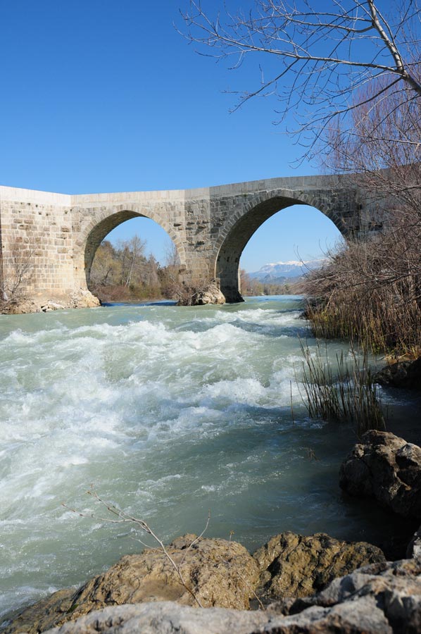
The horizontal central section featured six arches, supplemented in the ramp area by three small culverts for flood relief – one on the right bank (5.11 meters clear span) and two on the left. At normal water levels, the Eurymedon River flowed beneath the three largest bridge arches in the centre of the river, confined on both sides by double-wedge-shaped bank reinforcements. These reinforcements, attached to the piers closest to the river, were designed to prevent erosion of the bridge foundations.
 These riverbank walls—as far as can be determined from the archaeological evidence on the right bank—extended significantly further upstream (8.15 m) than on the downstream side (4.76 m). As an additional safety measure, pointed breakwaters were constructed both upstream and downstream, although these are not present at all piers on both sides. Based on the bridge remains, the clear spans of the three main arches could be calculated as 23.52 m for the central arch and 14.95 m each for the two flanking barrel vaults. The thickness of the two piers of the central arch was 9.60 m each.
The high level of technical sophistication of ancient bridge construction is also documented by the discovery of iron tie rods, which are 1.5 m long iron bars connected by hooks and eyes and laid in the lower courses of ashlar blocks to reinforce the bridge foundations.
 The bridge deck was made of Roman concrete, which can still be found as the foundation of at least one Seljuk pier.
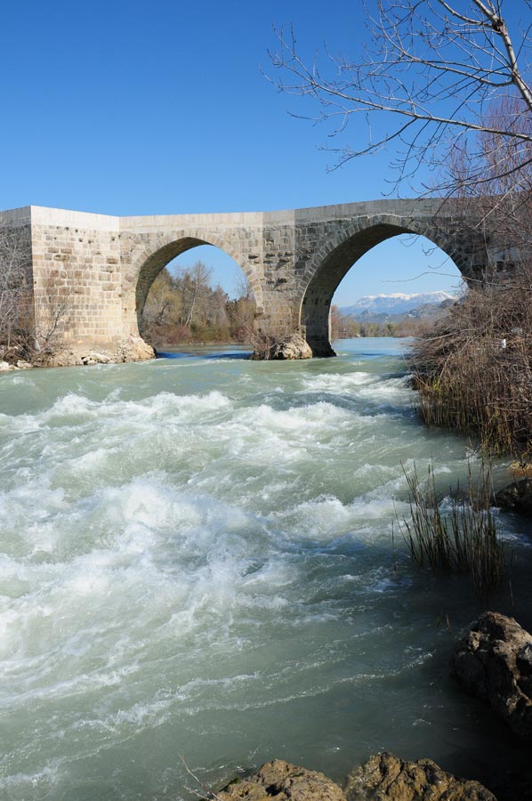
The Köprüpazar Köprüsü, a Seljuk pointed arch bridge incorporating Roman spolia, now rests on the foundations of the ancient structure.
Following the Roman pier remains in the riverbed, it exhibits a striking offset in the middle.
The late antique bridge, which presumably collapsed during a severe earthquake, was likely replaced by the current river crossing under the Seljuk Sultan Alaaddin Kaykubat (1219–1237).
 The alignment of the new bridge incorporated as much of the remaining Roman structure as possible, including sections shifted by the river's force. This resulted in the current bridge's offset above the central pier in the middle of the river.
This zigzag course, along with the consistent use of pointed arches, gives the Köprüpazar Bridge a unique character, quite distinct from other Roman bridges.
Compared to its ancient predecessor, the Seljuk bridge has significantly smaller dimensions, which offered the advantage of fully utilizing the existing ancient structures.
For example, by halving the bridge's width, even partially preserved ancient pier foundations could be integrated into the new construction.
The medieval bridge had a 4.1-meter lower arch apex.
 Its length was reduced to such an extent that the new bridge ramp on the right bank of the river began only at the point where the roadway of the Roman predecessor had already transitioned to a horizontal level.
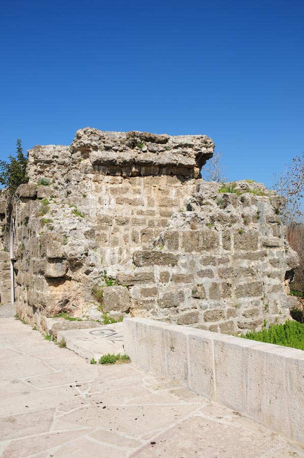
The Seljuk bridge is primarily constructed of stone blocks. The perforated stones from the Aspendos Aqueduct, already incorporated into the late antique bridge, were reused in the Seljuk bridge's ramp, demonstrating a third-time reuse of this material. The dilapidated parapet was restored in the late 1990s, during which time some old inscribed stones in Greek and Arabic, which had already been incorporated into the old parapet as spolia, were reused.
The Eurymedon Bridge is a worthwhile stop during a stay on the Turkish Riviera.
Coordinates: 36° 54′ 51.2″ N, 31° 9′ 46.8″ E
Please also read:
Mountain Biking - New Trails in Turkey
Laurel bushes line the path at the Oymapinar Dam
-
 Eurymedon - ancient Bridge
Eurymedon - ancient Bridge
Eurymedon - ancient Bridge
-
Eurymedon - ancient Bridge
Eurymedon - ancient Bridge
-
Eurymedon - ancient Bridge
Eurymedon - ancient Bridge
-
Eurymedon - ancient Bridge
Eurymedon - ancient Bridge
-
Eurymedon - ancient Bridge
Eurymedon - ancient Bridge
-
Eurymedon - ancient Bridge
Eurymedon - ancient Bridge
-
Eurymedon - ancient Bridge
Eurymedon - ancient Bridge
-
Eurymedon - ancient Bridge
Eurymedon - ancient Bridge
-
Eurymedon - ancient Bridge
Eurymedon - ancient Bridge
-
Eurymedon - ancient Bridge
Eurymedon - ancient Bridge
-
Eurymedon - ancient Bridge
Eurymedon - ancient Bridge
-
Eurymedon - ancient Bridge
Eurymedon - ancient Bridge
-
Eurymedon - ancient Bridge
Eurymedon - ancient Bridge
-
Eurymedon - ancient Bridge
Eurymedon - ancient Bridge
-
Eurymedon - ancient Bridge
Eurymedon - ancient Bridge


https://www.alaturka.info/en/turkey-country/riviera/7056-eurymedon-bridge-over-the-koepruecay-near-aspendos#sigProId7dea6f5551