")
")
")
Pielenhofen Camping - a bike tour aiming Danube Limes
- Written by Portal Editor

It's a wonderful, sunny day at the Pielenhofen an der Naab campsite, and once again the weather invites you to go on a bike tour on the Naabtal bike path.
Every now and then in the night you could hear the rustle of the first leaves falling from the magnificent, tall birch trees onto our project caravan, clear signs that autumn is slowly approaching. So, we take advantage of the wonderful hours of sunshine and drive down the Naab towards Regensburg, an at least partially familiar route that we had already covered to Mariaort / Pfettendorf at the confluence of the Naab and the Danube.
The Danube cycle path also follows parts of the ancient Roman road Via Istrum
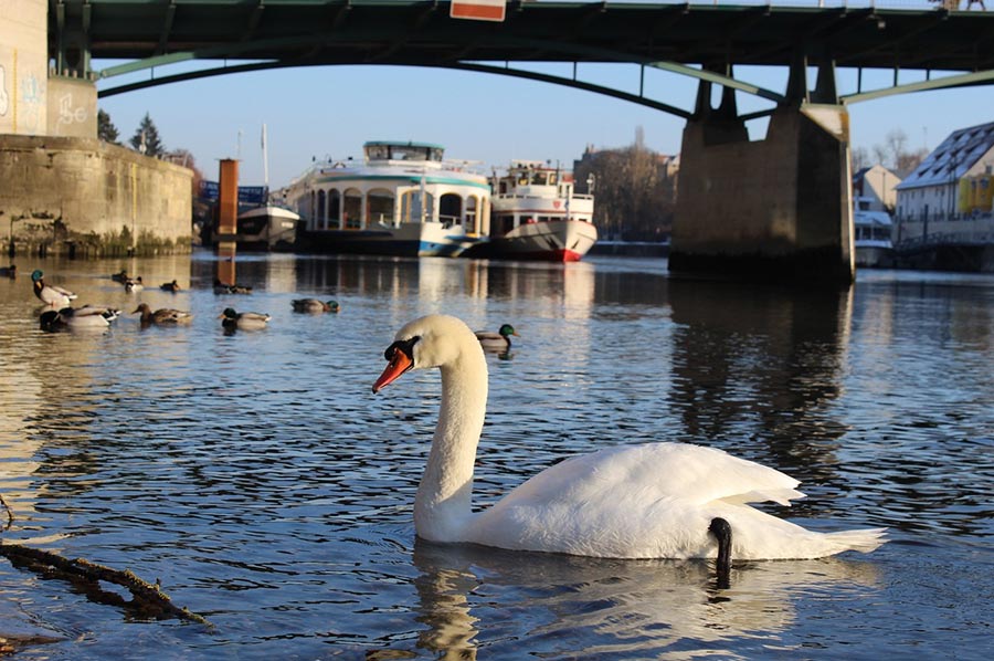
 Today, however, we are going to go on a section of the well-known Danube Cycle Path, which is a long-distance cycle path that leads over a distance of approx. 2,850 km from the source of the Danube to its mouth in the Black Sea and, in large sections, also formed the border line of the former Roman Empire. The Danube cycle path also follows parts of the ancient Roman road called Via Istrum / Via Danubia along the Danube Limes, which connected the stations, castles and fortresses to the Danube Delta.
Shortly before the road St 2165 joins the B8, this time you don't want to miss the junction that continues the cycle path and road along the Naab. So, we cross under the country road St 2165 through a pedestrian tunnel, then drive a few hundred meters along the B8 (crossing the Naab) and then turn left at the pizzeria at the entrance to Etterzhausen into Mariaorter Straße. Some additional information signs would be quite useful for cyclists.
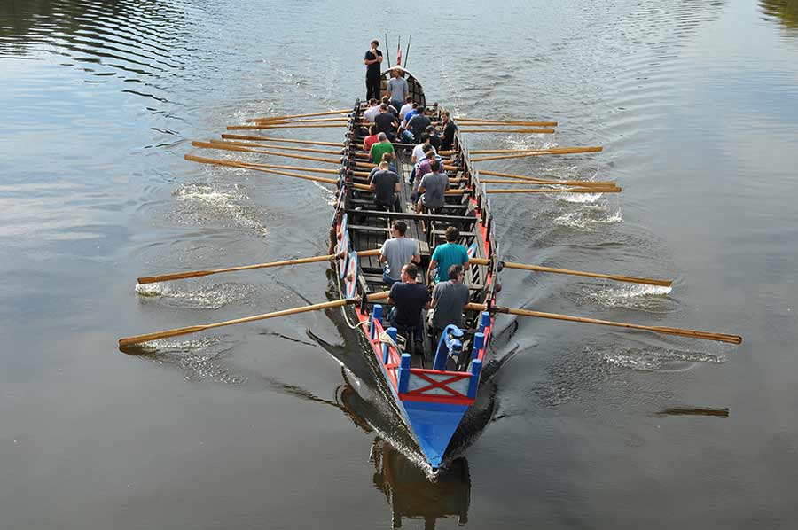
Still cycling along the banks of the Naab, we again meet the Roman ship "Regina", on which a group of "Roman" citizens are again being instructed in the uniform rowing rhythm under the "strict" commands of the Centurion; commanding whistles can be clearly heard on the bank. It's certainly not easy to move and navigate the long and heavy wooden ship.
Swimming car based on a design by Hans Trippel
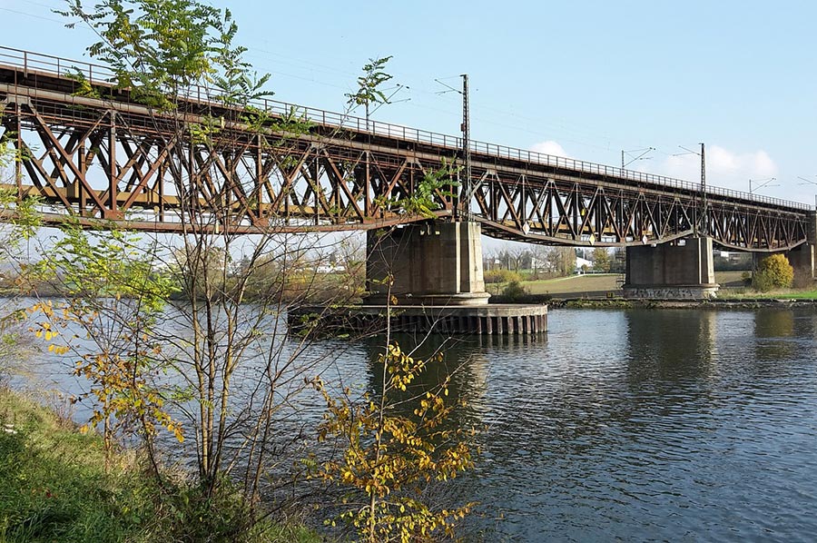 We then pass the Mariaort pilgrimage church before heading to the railway bridge to cross the Danube. Parallel to the tracks there is a narrow bicycle/pedestrian path that offers a wonderful view along the Danube, so on the one hand you can see the mighty concrete pillars of the A3 motorway bridge up the Danube and the confluence of the Naab near Mariaort down the Danube. We also noticed a somewhat strange-looking watercraft that glides leisurely, but powered by a motor, down the Danube. An amphibious vehicle called "Amphicar" that is rarely found anymore, a swimming car based on a design by Hans Trippel from 1961, of which a total of 3,878 vehicles were completed at the Quandt factory in Lübeck and Berlin, 3,046 vehicles were exported to the USA. In the 1960s, the Amphicar cost as much as two VW Beetles, probably one reason for the low sales figures in Germany.
 After leaving the railway bridge, we drove a short distance back to the Danube, where we noticed some information boards from the bridge, which, as we later discovered, pointed to various Roman buildings in the Danube bend opposite the mouth of the Naab. In the first century AD, the Roman Empire conquered the areas north of the Alps and gradually built a fortified border, which was expanded into the Danube Limes, with the Via Istrum being created in parallel to quickly get from one fort to the other. The first military branch of Roman soldiers was founded in the Regensburg Danube Bend in the 1970s of the 1st century AD. In today's Kumpfmühl district, the first cohort fort was built, which, as usual, initially consisted of wooden palisades and earthen walls. Only gradually were stone buildings erected. This first cohort fort served as an auxiliary camp and supply depot for stationing at least 500 Roman foot soldiers and riders, but it also quickly contributed to the settlement of traders and craftsmen in the area. A second settlement (vicus), which was also protected by a fort, is now located below the western old town of Regensburg. Due to the invasion of the Germanic tribes in 167 AD, forts and settlement camps were destroyed, so that there are no longer any buildings on the surface today. In the last quarter of the second century, the new, more fortified camps in Großprüfungening and the huge military camp in the area of today's old town were built.
The first cohort fort was built in today's Kumpfmühl district
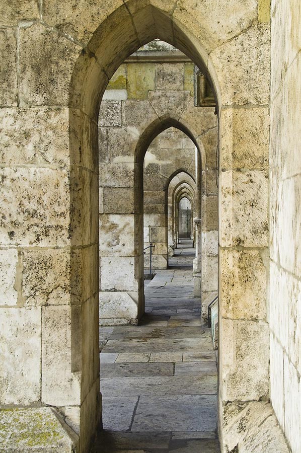
 In the middle of the Danube valley opposite the confluence of the Regen River, a mighty stone fortress called Castra Regina, also known as Reginum, was built. With the expansion and completion of the camp, the 3rd Italian Legion of over 6,000 men was stationed here. The discovery of the famous stone building inscription, which is now in the Regensburg Historical Museum, proves that the camp was completed in 179 AD under Emperor Marcus Aurelius. The impressive defensive structure made of stone blocks measured 540 x 450 meters and therefore covered an area of around 25 hectares. The camp had a defensive ditch in front, 22 wall towers and four city gates, from which the main camp streets emerged as a right-angled camp axis cross. The still partially preserved Porta Pretoria, the north gate on the Danube side, is, along with the Porta Nigra in Trier, the only remaining gate building from the Roman period north of the Alps. Another heavily fortified gate through the Limes was the Dalkinger Tor, of which only the foundation walls remain.
In the modern development of Regensburg, further remnants of the old camp fortifications can still be seen in the form of the northeast and southeast corners of the camp, as well as larger sections of the eastern flank of the camp wall. However, the remains of the former interior buildings of the military camp are buried several meters below the current old town centre of Regensburg. Despite the immense fortification of the military camp, it suffered further destruction by the Germanic tribes in the fourth century, which also led to the devastation of the surrounding area and forced many settlers to give up farming the land. To the west of the camp was the larger part of the settlement with a huge burial ground. During excavations, more than 6,000 cremation and body graves were found that had been created here before the Romans left in the 5th century.
In the Regensburg Historical Museum
The much smaller second Roman fort was located on the area opposite the mouth of the Naabein on what is now the outskirts of the Großprüfungening district. The fort, also made of stone, was 60 x 80 meters in size, which was enough to accommodate around 70 soldiers. Their job was to monitor the mouth of the Naab. The Naab was an important transport arm for the Germanic peoples in the free part of Germania. Here too, a camp village had formed with traders and craftsmen who supplied the fort's crew with the necessary things in life.
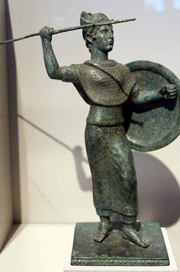
 Only through extensive ground investigations, including from the air, could the position and remains of the forts and some buildings be clearly determined. Subsequent excavations then proved the accuracy of the air measurements. Today, in the Historical Museum of the City of Regensburg, you can see the most beautiful find so far unearthed from the settlement, the bronze statuette of the goddess Minerva.
As part of the excavations, various production sites were also found, sometimes clearly indicating their former use. However, some of the sites also allow for several possible uses, at least speculatively. We had read in an article that the only beer brewing facility north of the Alps had been found here. An additional incentive for us to visit this site. We had long since continued our tour along the Danube, were fascinated by an exercise by the Bavarian Water Rescue Service, which was rehearsing an emergency with their boats on the Danube, and then reached the city centre of Regensburg without any further information about the brewery bump.
 Only by studying the bicycle map did it become clear that there had to be a second route closer to the Großprüfungening district, where the newly built protective building for the excavated brewery would also have to be located. It is a shame that there are no signs pointing to the brewery directly on the Danube cycle path; there are certainly some culturally interested visitors among the cyclists who would like to take a look at the brewery.
The not entirely uncontroversial interpretation of the location where the beer brewery was found is based on the fact that all the facilities needed for brewing beer existed in the building:
- a well for water supply
- a large basin for watering the grain or for open fermentation of the beer
- a kiln (heated drying room) for roasting the germinated green malt
- a brick cooking area for heating the mash and boiling the beer wort
 It was then necessary to ask passers-by before we were able to find the protective building for the beer brewery at Kornweg 24, which, to protect the excavations, only allows viewing from the outside through high glass panes. At least the brick oven and basin are clearly visible. However, the equipment with a well, a large basin, a kiln with a combustion pit and a cooking area allows for several interpretations, for example: B. Dr. Lutz-Michael Dallmeier from the Office for Archives and Monument Preservation. According to a Cologne scientist, the business could have been a dye works or tannery. It can also be used as a sweat chamber and kiln for drying fruit.
 Be that as it may, whether as a beer brewery or a dye works or a sweat chamber, it is a shame that this elaborate building is not advertised more clearly. “Regensburg is so rich in things to see in the city centre that, due to the remoteness in the west, hardly anyone gets lost there,” says city resident caretaker Dr. Werner Chrobak and further: “It would certainly be an enrichment if you did a special tour in Regensburg with visible signs of the Romans and also included large-scale testing.”
Perhaps more concrete information signs directly on the Danube cycle path would be enough for the time being. In any case, we continue our way back to the campsite in Pielenhofen with the idea of visiting other forts along the Danube Limes.
Please read as well: