Baad – Ochsenhofer Köpfe Panorama Trail to Baad
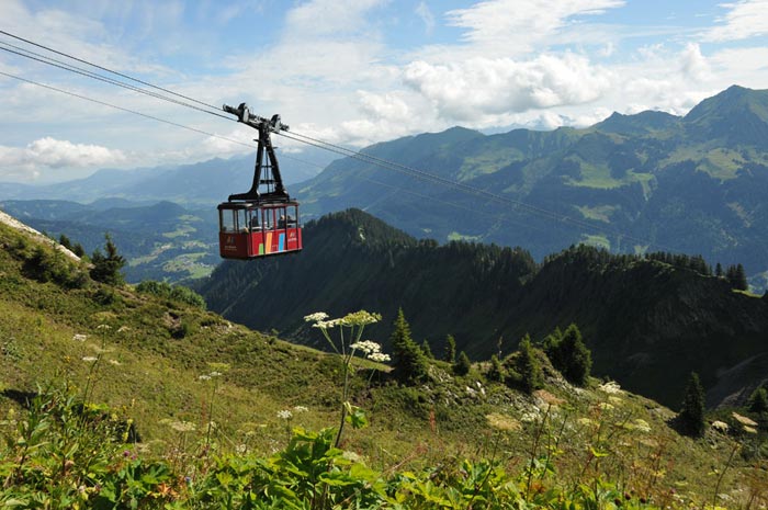
Baad – We took the Walmendingerhorn cable car up to the summit station on the Walmendingerhorn, where we were greeted by perfect weather and a magnificent panoramic view from the station's observation deck.
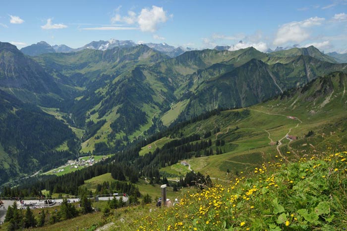
Down below, at the very end of the Kleinwalsertal valley, the village of Baad is clearly visible in the picture. In the valley opposite (behind the village of Baad), we plan to tackle the ascent of the Großer Widderstein a peak that has been beckoning us every morning from the campsite for days. The mountain panorama from the Walmendingerhorn is truly fascinating.
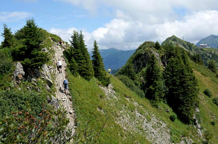
Our hiking trail follows the narrow path along the Ochsenhofer Köpfe peaks to the Ochsenhofer Senke (saddle). On the right edge of the image, the summit of the Walmendingerhorn and the cable car station are still visible.
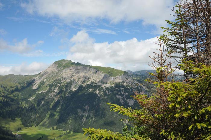
Directly below us one might almost say right beneath our feet lies the Schwarzwassertal valley; opposite rises the Hochifen massif, home to another spectacular hiking trail we would love to explore someday.
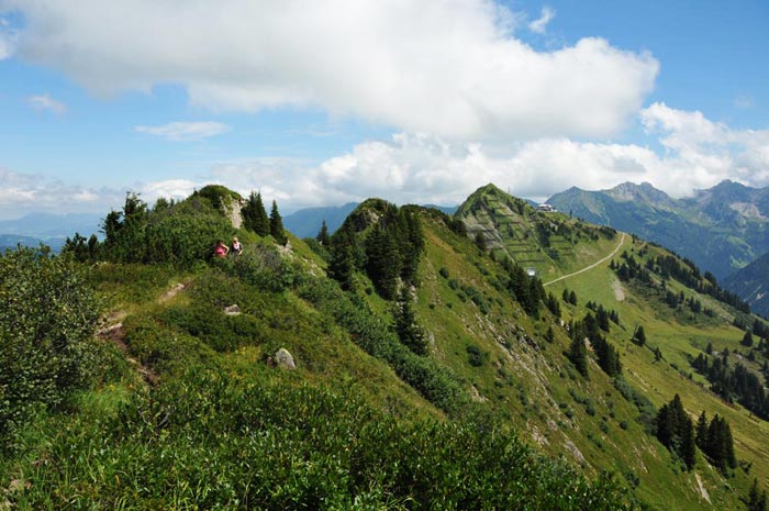
Here, the narrow summit path across the Ochsenhofer Köpfe is clearly visible. The third peak in the picture is the Walmendingerhorn with its cable car station.
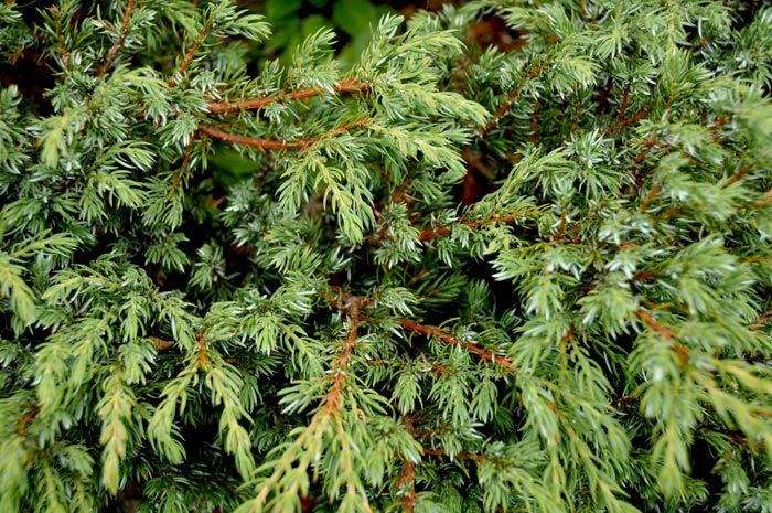
A glimpse of nature along the trail: how do the bushes and conifers lining the mountain path manage to withstand the ice and snow of winter?
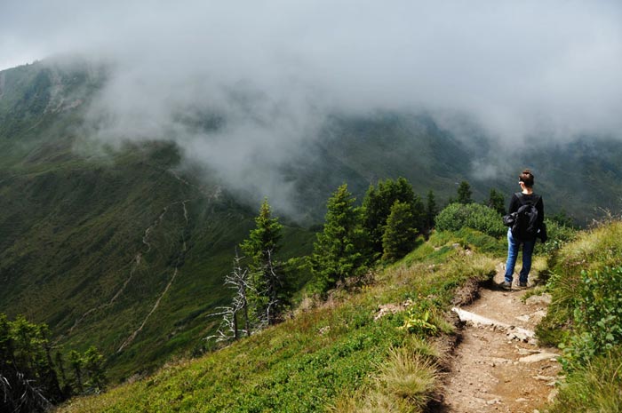
Now we begin our descent into the Ochsenhofer Senke. The first clouds are rolling in, drifting from the Schwarzwassertal through the Ochsenhofer Senke and into the Kleinwalsertal. It is a magnificent natural spectacle, especially as we find ourselves partially enveloped by the clouds.
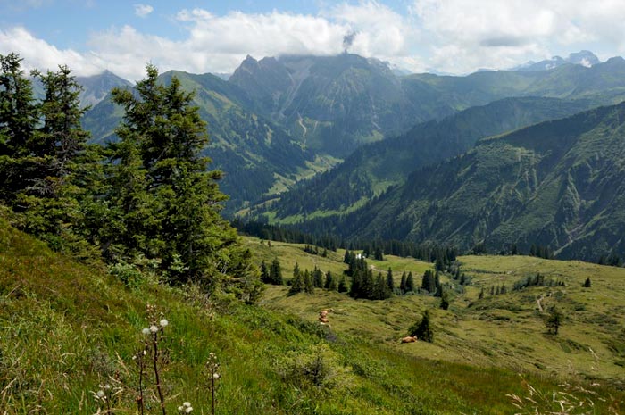
Our route takes us across various high alpine pastures to the Untere Lüchlealpe. In the background, the Großer Widderstein appears once again on the opposite side of the valley. Signposts like this one make navigating the various hiking trails quite easy, though it is still advisable to carry a properly scaled hiking map or a GPS device to pinpoint your destinations.
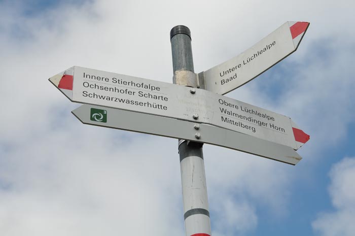
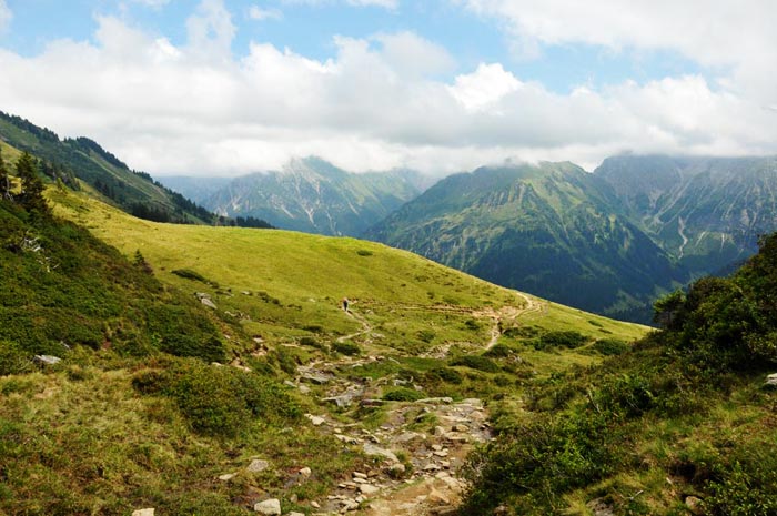
For the most part, the trails are clearly visible across the landscape from a distance, though at times they are rendered almost unrecognizable by grazing livestock. In such cases, you have to look for distant markers often painted onto rocks to stay on track.
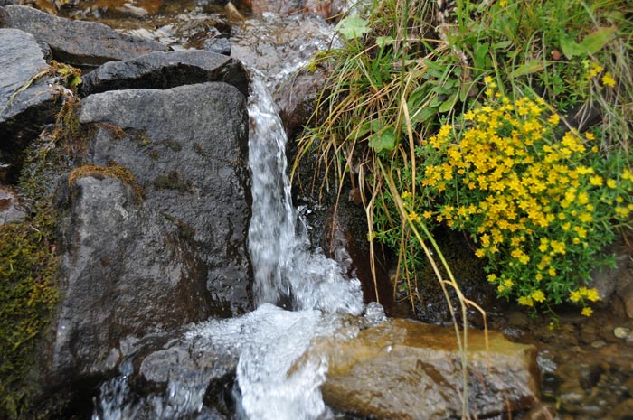
We frequently come across truly idyllic spots; sometimes it is a bubbling stream lined with wildflowers...
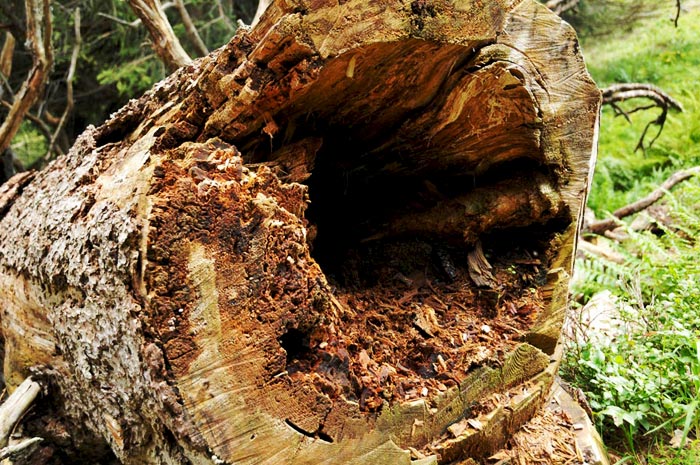
...or a decaying tree trunk that now serves as a home and food source for thousands of insects, larvae, and beetles.
Then there are the various types of mushrooms though this particular one is not suitable for human consumption. We almost wished we had a basket to gather the porcini, bay boletes, and chestnut boletes that caught our eye along the path.

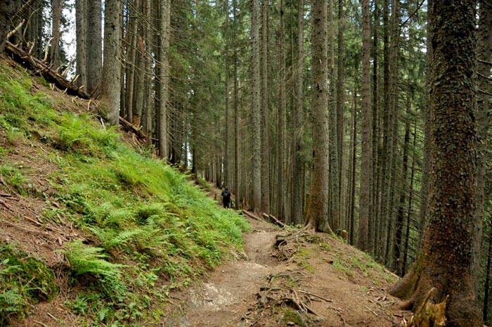
Our path now led through tall forest a completely different landscape featuring ferns and blueberry bushes in the clearings.
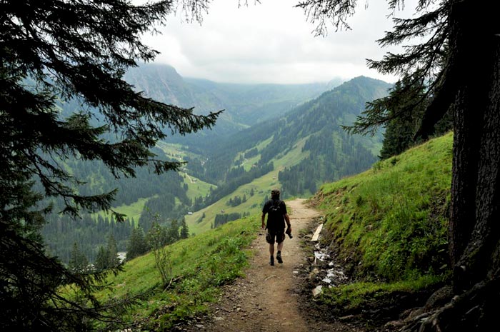
Then, suddenly and unexpectedly, the forest opened up again, offering a sweeping view into the Bärgrund valley near Baad. To the left in the background stands the Großer Widderstein.
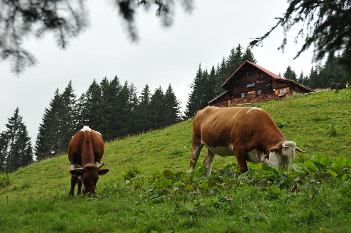
We pass the Untere Lüchlealpe, where we are greeted by the sound of cowbells from a herd of young cattle.
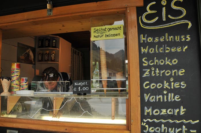
We’ve made it. We have arrived at the end of the valley in Baad. As a reward, we treat ourselves to a homemade ice cream to go. The forest berry flavour is delicious and highly recommended. A wonderful panoramic trail leading from the Walmendingerhorn via the Ochsenhofer Köpfe all the way to Baad.
Please also read: