The Vistula – From trade route to long-distance cycle route

We concluded our visit to Warsaw at a restaurant by the Vistula River, where we happened upon a small exhibition of amber and maps detailing the "Amber Road" a route that, in part, followed the course of the Vistula.
Having already covered the Amber Road in a previous article, it is now time to focus on the Vistula itself; at 1,048 kilometers, it is Poland’s longest river and remains a largely unregulated, natural waterway.
The Vistula in Roman Times
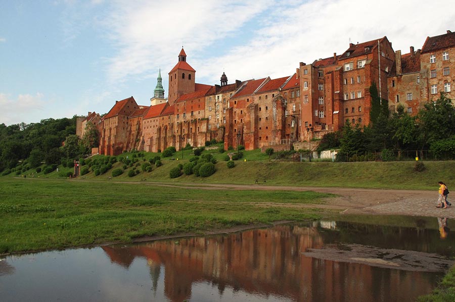 The earliest written references to the Vistula date back just over 2,000 years and come from authors of the Roman era. In antiquity, the Amber Road ran from the Roman Empire, through the Moravian Gate, and in certain sections along the Vistula, at the mouth of which (on the Baltic Sea) lay the amber trading post of Turso.
In 44 AD, the scholar and cartographer Pomponius Mela, writing in the third book of his *Chorographia*, identified the *Vistula* (the Latin name for the river) as the boundary between Germania and Sarmatia. Around 77 AD, Pliny the Elder, in his *Natural History*, explicitly mentioned two names for the river: "Visculus sive Vistla." According to his account, the Vistla flowed into the *Mare Suebicum* what we know today as the Baltic Sea.
 Pliny likewise described the Vistula as the frontier river separating the Germanic and Sarmatian spheres of influence. Pliny referred to the East Germanic peoples living in the Vistula region during his time as *Vandili* (Vandals), identifying the *Burgodiones* (Burgundians), *Varinnae*, *Charini*, and *Gutones* (Goths) as constituent tribes. The Goths had only settled along the lower and middle Vistula during the final century BCE; however, they began to migrate away again around 200 CE, and by the 5th century, no further trace of them can be found in the region.
Beyond these migratory movements, the ethnonyms also shifted: in his *Germania*, Tacitus classified the *Aesti* (or *Aisti*) who lived east of the Vistula estuary as Germanic, though he noted that they spoke a language resembling British (Celtic) and distinguished them from the *Suebi*.
The Slavs settle the banks of the Vistula
 From the 5th and 6th centuries CE, Slavic settlements are attested along the Vistula. A significant decline in population due to emigration can be observed in these areas between the Germanic and Slavic periods of settlement. In the Germanic written tradition, the forests of the Vistula that is, the territory associated with the Przeworsk culture are identified as the homeland of the Goths and other Germanic peoples.
When Jordanes composed his chronicle of the Goths, *Getica*, in the 6th century, he referred to the river as the *Vistula*. He also described two other rivers by the name *Viscla*; this name refers to the Wisłoka tributary and the Wisłok, a tributary of the San.
Around 850 CE, the Prussians who primarily inhabited the area east of the Vistula estuary were mentioned by the "Bavarian Geographer" as the *Bruz*. One of the earliest Polish chroniclers, Wincenty Kadłubek, described the Vistula as the ancestral home of the Vandals a connection he used to derive the Polish legend of Wanda.
The Vistula: A Major Trade Route Once More
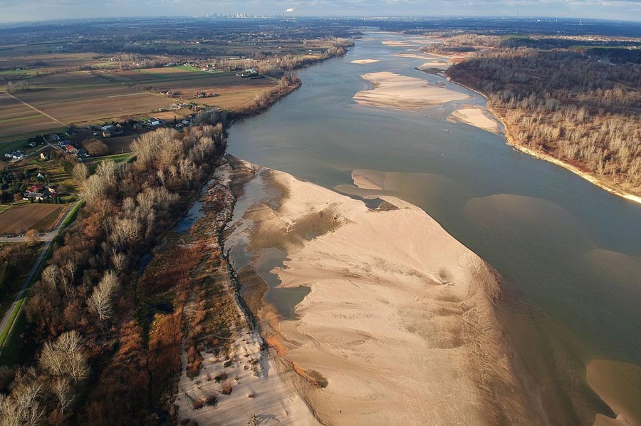 During the High Middle Ages, the Vistula River became a vital trade artery, connecting Kraków to Gdańsk. However, trade along the river was hampered following the Teutonic Order’s occupation of Gdańsk in 1308. After the Second Peace of Thorn in 1466, the entire course of the Vistula once again lay within Polish territory. The period of more than 300 years between the Peace of Thorn and the First Partition of Poland in 1772 is considered the golden age of Vistula trade; during this time, Gdańsk served as a commercial hub linking the Polish-Lithuanian Commonwealth with Western European trading nations, such as England and the Netherlands. The Vistula and Gdańsk facilitated the export of Polish grain at a time when the Polish-Lithuanian Commonwealth served as the "breadbasket" of the continent to Western Europe, while also enabling the import of colonial goods from the West.
At the end of the 18th century, following the third partition of Poland, the Vistula and the Warta rivers were enshrined as symbols of freedom in the Polish national anthem, *Mazurek Dąbrowskiego* (Dąbrowski’s Mazurka).
The Vistula Today: A Long-Distance Cycle Route
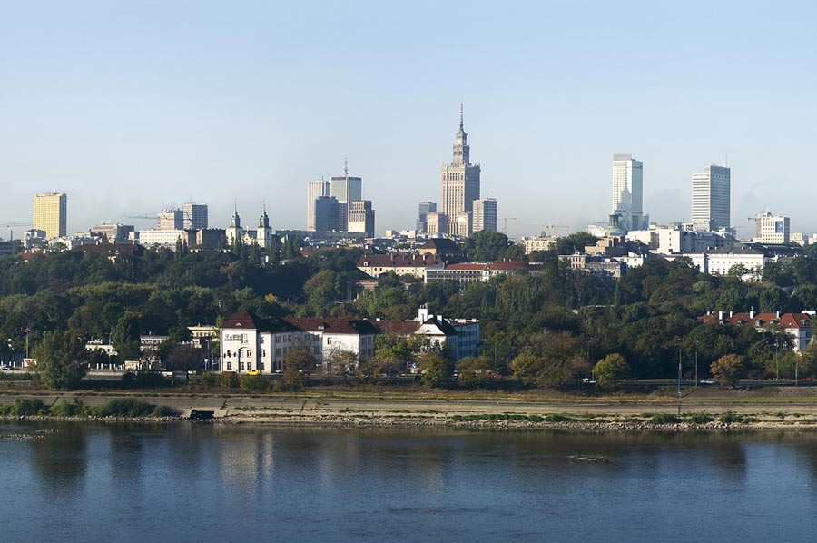 A long-distance cycle route, spanning approximately 1,200 kilometres along the Vistula from its source to Gdańsk, is currently under development, with several sections already completed. At present, the segments stretching from the river’s source to Szczucin passing through the Silesian and Lesser Poland Voivodeships as well as the stretch from Dobrzyń nad Wisłą to Kwidzyn in the Kuyavian-Pomeranian Voivodeship, are finished; together, these completed portions account for roughly half of the total route. The Vistula flows through numerous forests such as the Sandomierz Primeval Forest as well as many nature reserves (found within the Vistula Valley, for instance the Zbocza Płutowskie nature reserve) and Natura 2000 protected areas (such as the Wiśliska).
Please read as well: